GETProperty Data
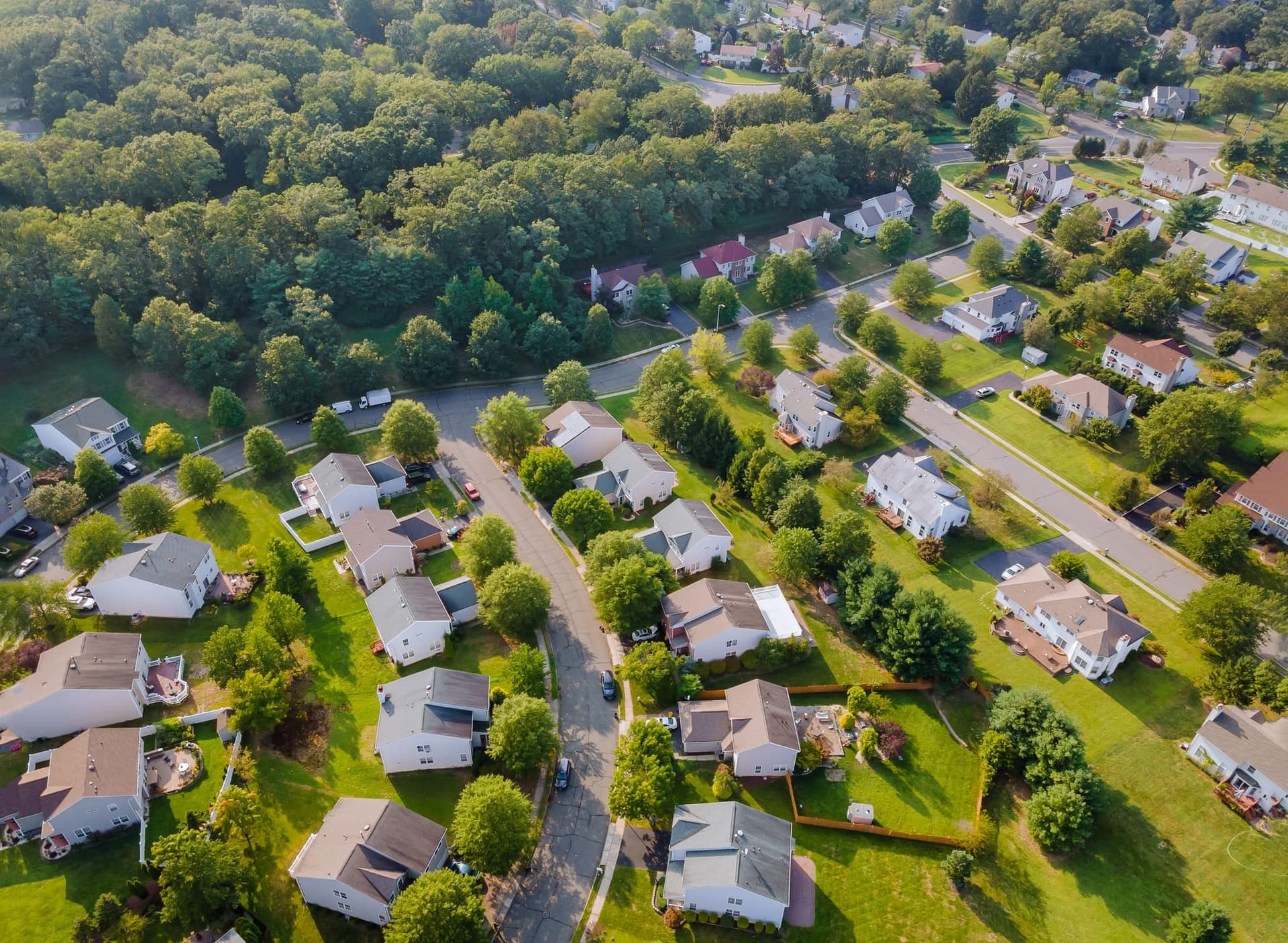
Property Insights
Natural and manmade exposures, neighborhood grades, emergency response, and 30+ POI categories
Overview
Risk and environmental profile for any US address. 25+ natural hazard exposures, human-caused risks (crime, water quality, noise), neighborhood indicators (fire stations, hydrants, emergency response, walkability), damaging event history, and 30+ POI categories.
What you get back
- Natural exposures with grades and national percentiles (flood, wildfire, earthquake, hurricane, tornado, hail, landslide, lightning, and 15+ more)
- FEMA flood zone, floodplain status, and flood claims history
- Wildfire fuel loading, historic perimeters, and community protection plans
- Human exposures (crime by type, PFAS, water quality, noise, fracking, mine subsidence)
- Neighborhood (fire station distance, hydrant counts, law/medical response, code adoption, walkability, transit, disaster resilience)
- Damaging event history with dates, types, and distances
- 30+ POI categories (schools, hospitals, fire stations, superfund sites, pipelines, and more)
- Zones (urban area, school district, census block, opportunity zone, plant hardiness)
Common use cases
- Insurance underwriting risk assessment
- Real estate due diligence
- Portfolio risk screening
- Environmental compliance checks
Ready to get started?