Points of Interest
Nearby places, hazards, and infrastructure with distances from the property
Overview
Everything of consequence near a property, returned as named places at real distances. Covers emergency services, schools and healthcare, environmental and industrial sites, energy infrastructure, and transport. Understand the places that shape a neighborhood before you buy.
What’s included
- Emergency services: fire stations, law enforcement, ambulance services, hospitals and medical centers, urgent care
- Schools and community: public and private schools, colleges and universities, childcare centers, libraries, post offices
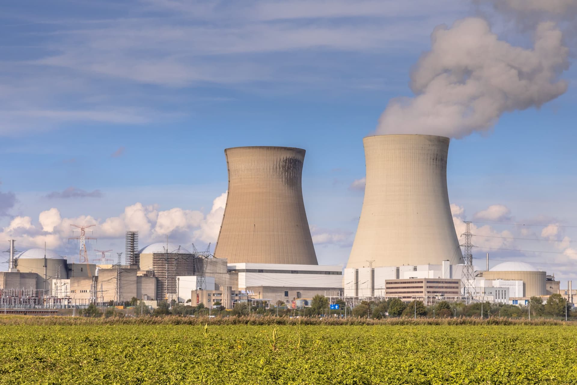
- Environmental hazard sites: superfund sites, brownfields, toxic release facilities, waste facilities, underground storage tanks, asbestos facilities, drug labs
- Energy infrastructure: crude oil, natural gas and HGL pipelines, electrical transmission lines, power plants, petroleum refineries
- Transport and other: airports, EV charging stations, military bases, local food facilities
- Name, street address, distance, and coordinates for every place returned
What teams use it for
Applying distance-based underwriting rules
Guidelines turn on distance: miles to a fire station, feet from a pipeline, how close the nearest superfund site sits. Each one comes back measured from the address.
Building your own location scoring
Incorporate the places themselves into your own models, rather than using our composite scores.
Enriching property reports with nearby services
Turn a bare address into a picture of the neighborhood. Schools, hospitals, and services arrive at distances your reader can check.
Related property data products
Ready to get started?
Available via REST, AI-ready MCP, cloud storage, and bulk file transfer. See how access works